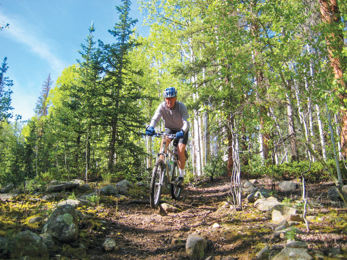
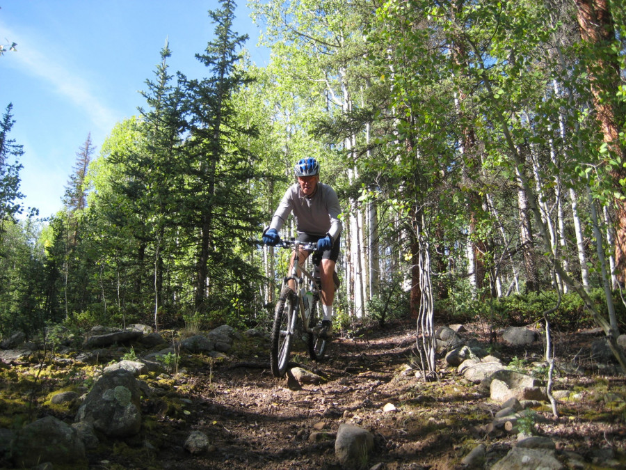
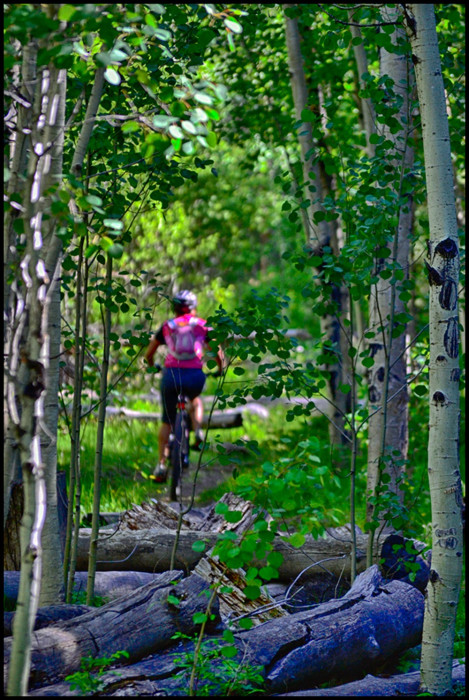
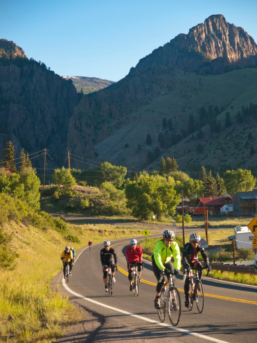
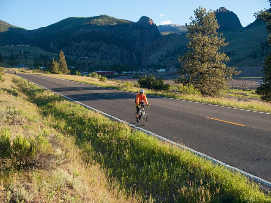
Mountain Biking
Deep Creek Trail is a fantastic trail for mountain biking. After carrying your bike across a small bridge a couple miles into the trail, you’ll find yourself in a lush forest. In the late summer and early fall, take a few minutes to stop and collect wild raspberries! Be sure to pack plenty of water and snacks for your adventure. After a day of riding, have a cold one at Sunnyside Bar!
Know Before You Go
- Tell Someone: Where you’re going When you’ll be back
- Check the Weather; and then wear ALL the layers anyway
- Altitude WILL effect you! You are at 8,000ft+ elevation - we have more beauty, but less oxygen!
- Maps - don’t rely on cell service. Either have them printed or downloaded.
- Stick to the trails; Leave any gates the way you find them!
- Uphill has the right-of-way. Bikers yield to hikers, all yield to horses.
- Buy a Search & Rescue Card ($3 online). The card helps reimburse local SAR team’s expenses for search and rescue missions


Our Favorite Mountain Biking Trails
Middle Rat Creek Loop
Length: 7 miles
Riding time: 1-2 hours
Difficulty: Easy to Moderate
Located right off the Bachelor Loop, the Middle Rat Creek Loop is a relatively relaxed ride and offers an easy pace. Begin your trip by driving up the Bachelor Loop, then take the left turn located approximately 2 miles up. Shortly before the road meets Rat Creek, turn right and climb Windy Gulch. After Windy Gulch, the ride is easy and rolling back down to the Bachelor Loop.
Bachelor Loop
Length: 17 miles
Riding time: 1.5-3 hours
Difficulty: Moderate
The highest point of this beautiful ride is 10,000 feet at the top of Bachelor Mountain. The well maintained, graded gravel road provides multiple stopping points to enjoy the scenic landscape or inspect historical markers. Most riders prefer to travel the loop backwards. To travel this way, you will begin on the southside of town, adjacent to the baseball field, and end at Humphrey’s Mill. Traveling the Bachelor Loop backwards challenges riders with a steep climb for the first four miles, but allows the remaining 8 miles to be fast and rolling. Be observant and watch for large vehicles traveling on this road.
Rat Creek/Willow Creek 4x4 Road
Length: 22 miles
Riding time: 2.5-5 hours
Difficulty: Difficult
To get to the Rat Creek/Willow Creek 4 wheel-drive Road, you will travel to Windy Gulch (off of Bachelor Loop). Riders will follow the Rat Creek drainage to the top of San Luis Pass. A challenging ride, this road offers break-taking views of the Continental Divide. Riders should be prepared for cool weather conditions and pack food and water. Riders can choose to shorten the ride by driving a vehicle up Bachelor Loop to Windy Gulch. If you choose to do so, you will shorten your ride by 3.5 miles.
East Willow Loop
Length: 8 miles.
Riding time 1-2 hours.
We recommend riding up East Willow Canyon, heading north from town and turning right at the “Y”. The first three miles make a gradual climb suitable for all levels of riders. After the final creek crossing, the road climbs up 5 switchbacks. Though the switchbacks are only 1.5 miles long, the climbing is demanding. The view of the La Garita Mountains from the crest of the climb is fantastic. In the fall this route provides some tremendous aspen colors. This loop finishes by descending to the Midwest Mine where the road meets with the top of West Willow Canyon. The descent back to town is steep and contains many blind corners.
Miners Creek Trail
Length: 7 miles.
Riding time: 1-2hours.
Tail begins at Creedmont Boy Sout Camp at the end of Miners Creek Road #507 (9,000 feet). Trail ends at the unction with La Garita Stock Driveway Trail #787 in Upper Miners Creek Park. Be prepared to cross the creek several times in the first couple of miles. Most riders enjoy riding up the trail from the Boy Scout Camp a few miles and then turning around and returning the way they came. The more adventurous riders can ride this trail as a loop. Begin by riding up Bachelor Road to the Rat Creek/Willow Creek 4x4 road and taking the left fork after crossing Rat Creek. This is Trail #787 in Upper Miners Creek Park. Riding the trail in this direction gives a total ride of approximately 22 miles. Please see a USGS map of the Forest Service for more details.
Other Rides
East Willow to Phoenix Park or Wason Park, Farmers Creek Trail, North Clear Creek Falls to Bristol Head or Crystal Lake, Stoney Pass, Stage Station Flat area near Rio Grande Reservoir, Jarosa Mesa Primitive Road on Spring Creek Pass. Please see the U.S. Forest Service for more details on many of these and other trails.
For more information or maps on Biking in the Creede and Mineral County area, please contact the Creede and Mineral County Chamber of Commerce.